Seeing the bigger picture тАУ monitoring rewilding
║┌┴╧╒¤─▄┴┐ Researcher Dr Sahran Higgins delves into the fascinating world of monitoring, where state-of-the-art techniques are evidencing the remarkable changes in biodiversity, habitats and more on rewilding sites across Britain. And explains how ║┌┴╧╒¤─▄┴┐ is trailblazing a new methodology to show the impact of rewilding.
Published 20/08/2024
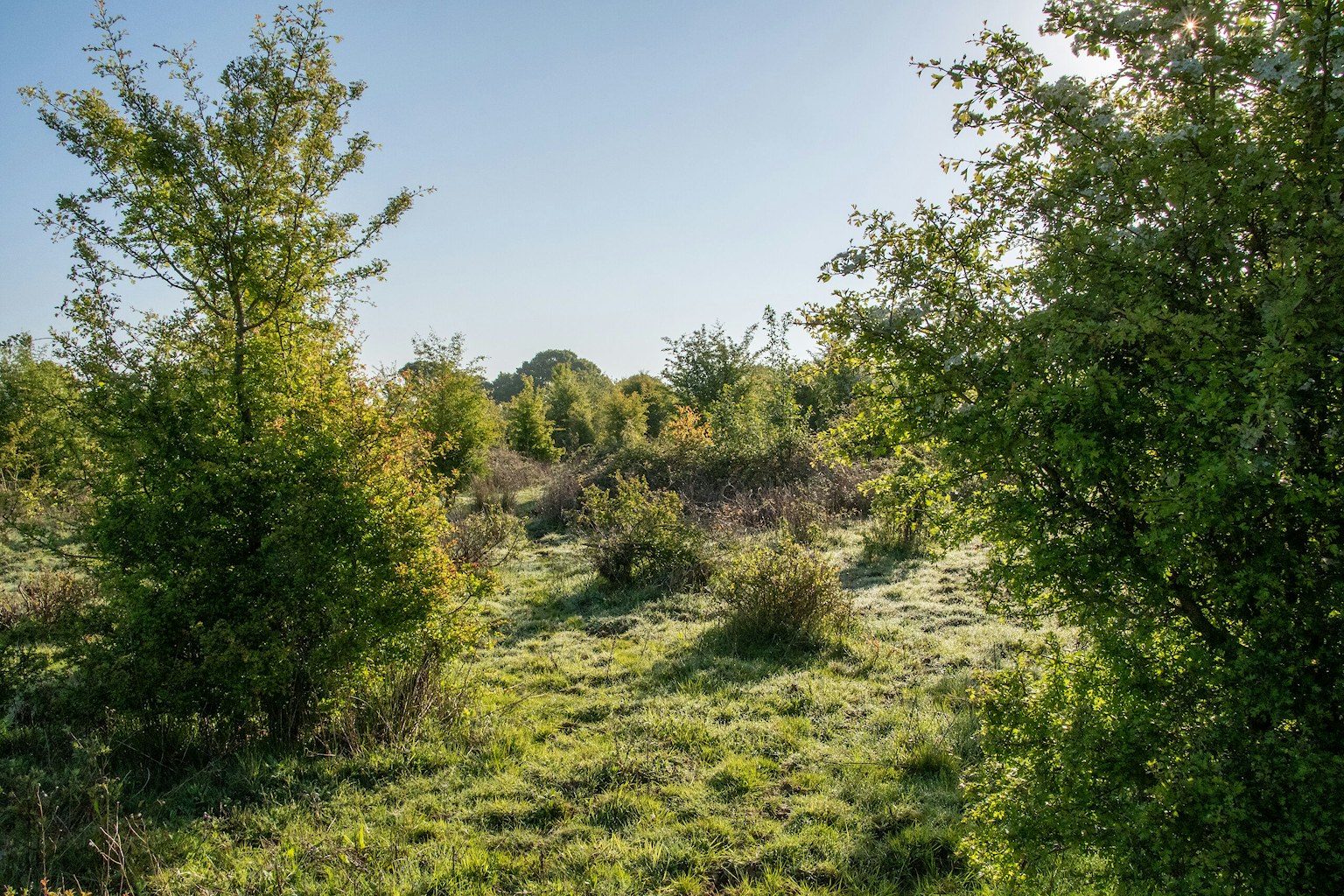
When we walk through a rewilding landscape, itтАЩs a full sensory experience. We can see, hear and feel the changes occurring as the land is released from management pressures and allowed to follow its own path again. We notice an increase in bird song or the sound of trickling water from a new beaver dam, pick up the smell of cool, damp woodlands, or observe the steady shift of tangled grass into scrub and trees тАУ and generally sense that things are becoming moreтАж wild.
Although, we might intrinsically know that the landscape is changing, how can we convey these amazing changes to someone whoтАЩs never experienced rewilding firsthand? How can we really show that rewilding is restoring nature and having wider beneficial impacts on individuals and communities? What can we do to strengthen the case that rewilding is a viable route to restoring our lands and seas?
At ║┌┴╧╒¤─▄┴┐ we frequently get asked these sorts of questions, particularly by members of the Rewilding Network, who number almost 1,000 and are rewilding across Britain. And the answer тАУ in part, at least тАУ lies in monitoring and collecting high-quality data.
What is monitoring?
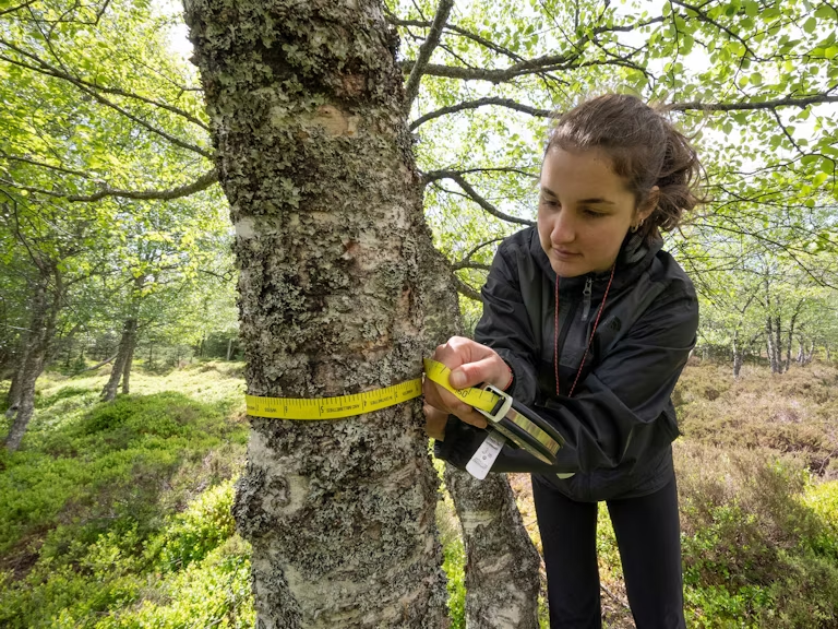
Monitoring is the systematic collection of data, at regular intervals over time, using a standardised approach. People have been monitoring nature in one way or another for hundreds of years.
The Victorians were pretty good at it, emerging from a fascination with collecting and documenting all sorts of natural history, from the plant hunters to the collection and classification of species by Linnaeus back in the 18th century. Gamekeepers of Victorian Britain would keep logs of the wildlife controlled on the land (see below).
Monitoring in the Victorian Era
The book тАЛтАШIn the High GrampiansтАЩ illustrates how gamekeepers of Victorian Britain kept logs with counts of seasonal wildlife extermination at an estate in Scotland over three years in the mid-1800s [1]:
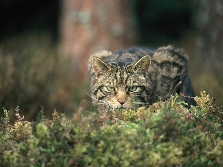
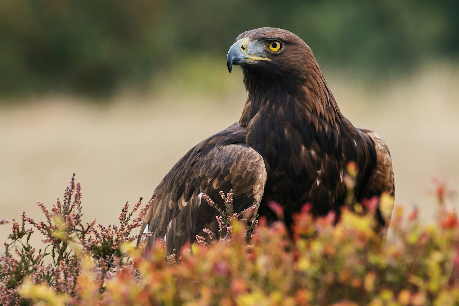
тАЬ198 wild cats, 78 house cats, 11 foxes, 246 pine martens, 106 polecats, 301 stoats and weasels, 48 otters, 67 badgers, 15 golden eagles, 27 sea eagles, 285 common buzzards, 371 rough-legged buzzards, 3 honey buzzards, 462 kestrels, 98 peregrine falcons, 6 gyrfalcons, 78 merlins, 11 hobbies, 7 orange-legged falcons, 63 goshawks, 275 kites, 18 ospreys, 92 hen harriers, 5 marsh harriers, 71 short-eared owls, 35 long-eared owls, 3 barn owls, 475 ravens, 8 magpies, 1431 hooded/тАЛcarrion crows.тАЭ
Although not monitoring in the strictest sense, these types of records are a fascinating example of what once was, less than two centuries ago, giving us a form of тАЛтАШbaselineтАЩ to understand how things have changed over time.
Why does monitoring matter for rewilding?
Rather than focus on restoring specific habitats or species, rewilding aims to reinstate ecological processes, such as disturbance (e.g. of the habitat by grazing animals), complexity (e.g. of vegetation structure and food webs) and dispersal (e.g. of species through the landscape). So by its very nature, rewilding requires a different approach to monitoring from those used within traditional conservation.
Rewilding is defined by an absence of fixed targets or end points and the way it embraces uncertainty. This makes having a robust monitoring methodology all the more important. Not only can data help tell the story of rewilding, but it can also inform a siteтАЩs rewilding strategy and help gauge progress along the rewilding journey, providing insights into what is and isnтАЩt working.
Examples of where monitoring has already led to breakthroughs in our shared understanding of rewilding include:
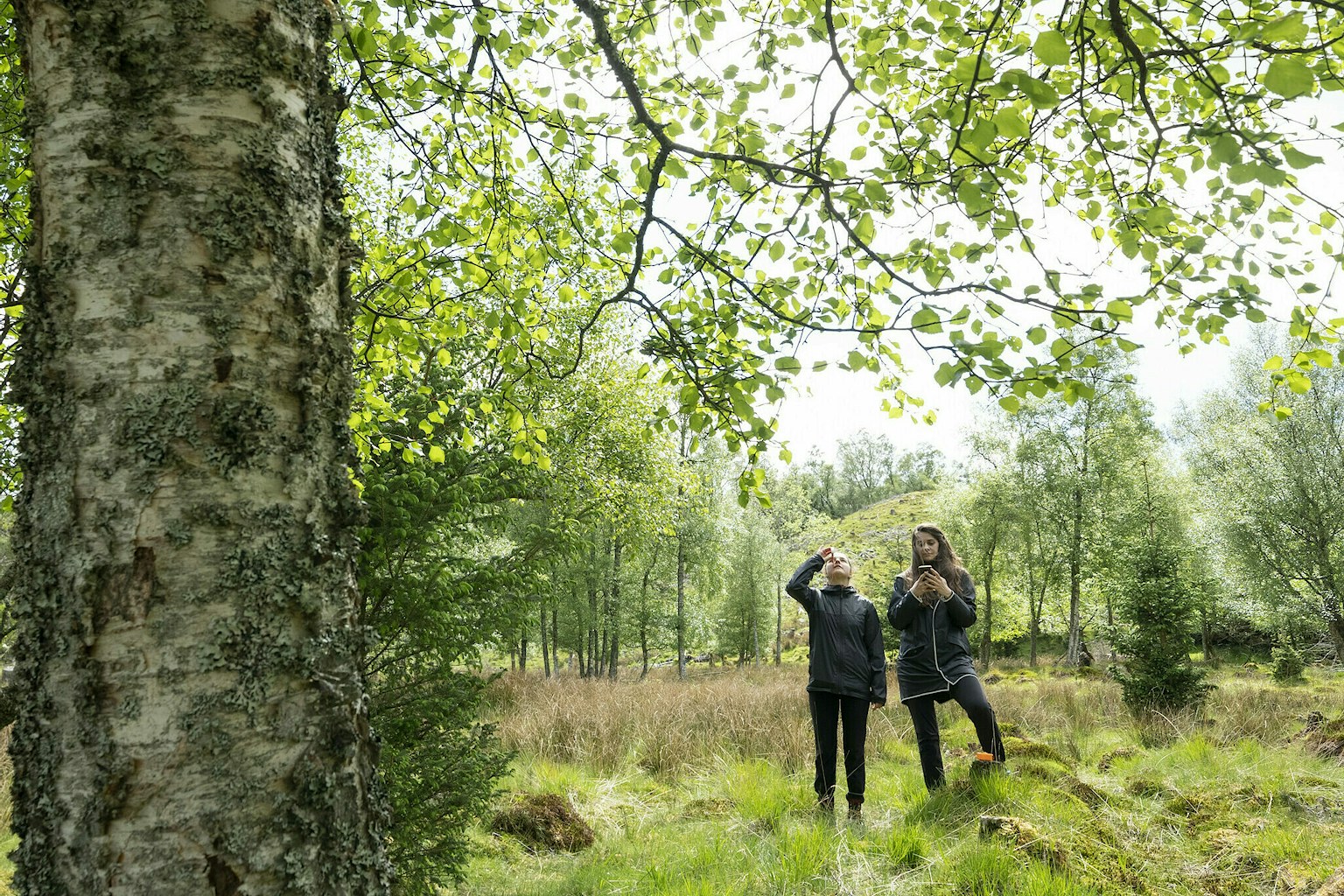
- Wild Ken Hill, where ground-based monitoring has revealed how quickly plant diversity can recolonise in lowland areas [2]
- Carrifran, where the diversity of bird species has increased with the changing vegetation structure [3]
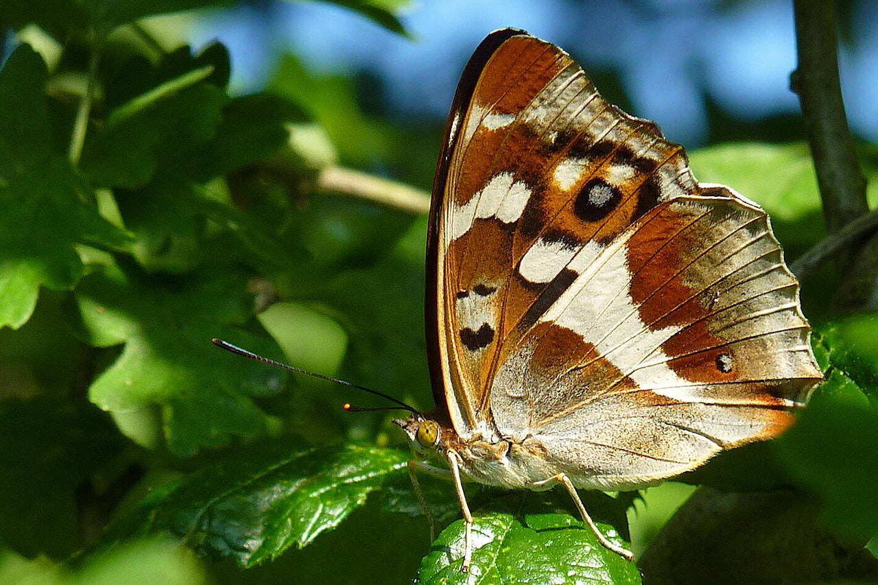
- Knepp Castle Estate, where the return of the magnificent purple emperor butterfly has been linked to the emerging sallow scrub thatтАЩs been allowed to thrive [4]
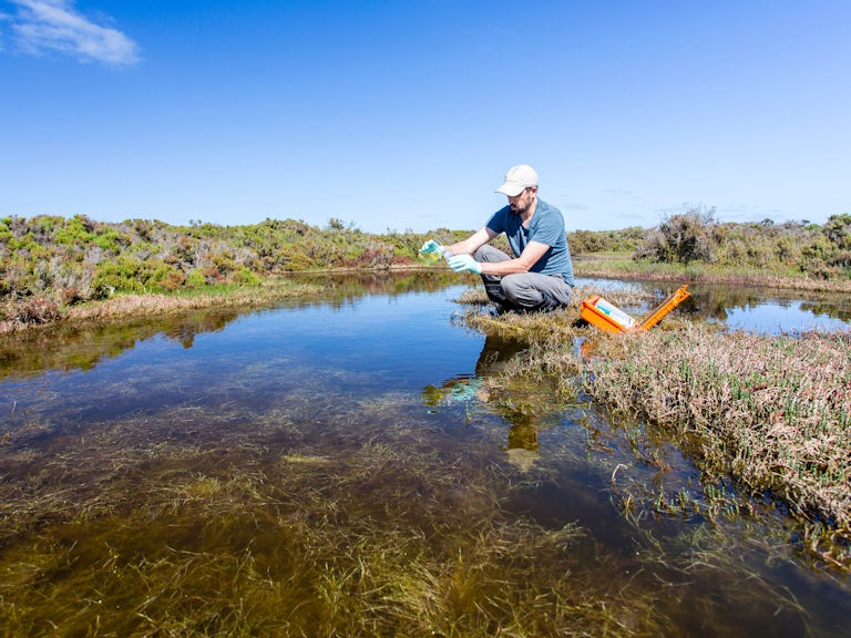
- The River Otter, where the monitoring of changes in peak flows and water quality before and after beaver reintroductions helps demonstrate the important role these animals have in our landscape for slowing the flow of water through the landscape, providing benefits in drought conditions and reducing peak flows downstream [5, 6]
By our definition, rewilding very much includes people and, by monitoring these wider benefits, the relationship between letting nature lead and thriving communities can be evidenced. Through our own data gathering across Rewilding Network sites, weтАЩve been able to show a fivefold increase in jobs in projects led by members in Scotland since rewilding began, and in England and Wales theyтАЩve doubled [12].
A new era in monitoring
Since those early Victorian collectors started their wildlife records, monitoring ecological changes has developed beyond recognition. Advances in technology mean that today ecologists can even monitor landscape level changes remotely without having to physically collect data themselves.
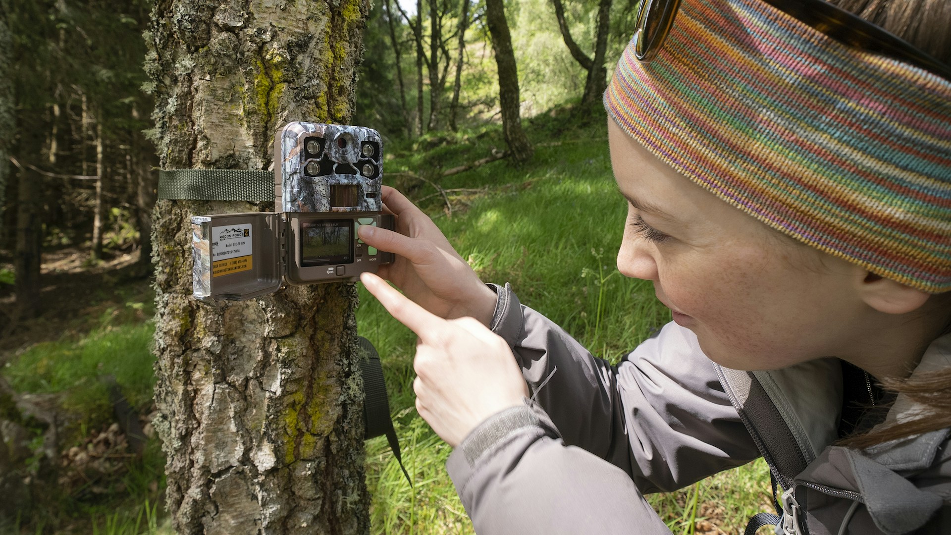
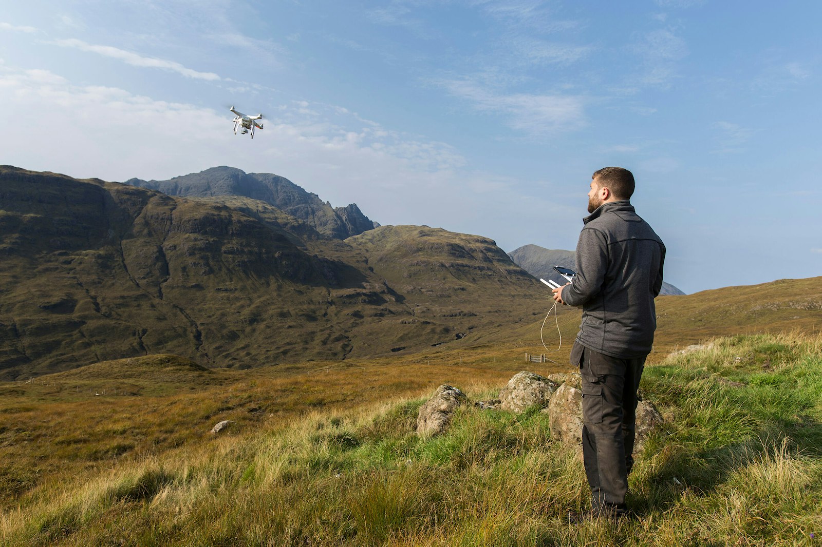
One such method is the use of camera traps, which are now used as a reliable way to monitor more elusive species or behaviours. These devices can be left in place for weeks, continuously recording activity without the need for constant human presence. Alongside ground-based observations, remote sensing techniques such as satellite imagery and drones can provide fantastic insights into how landscapes become more complex with rewilding.
Did you know?
Through our Rewilding Innovation Fund, weтАЩve supported three Rewilding Network members to measure the potential carbon captured by scrub and wood pasture on their land using LiDAR remote sensing techniques. This data is helping to build a complete picture of the potential of rewilding in tackling the climate emergency.
Another exciting development is acoustic monitoring. Recording sounds emitted by animals, such as bats, birds and small mammals, has already proven to be a powerful ecological monitoring tool. Today, researchers can even detect levels of worm activity underground and interpret this as a measure of soil quality [9]. Recording whole soundscapes тАУ i.e. all the sounds emitted from a given landscape тАУ is also developing as a technique to infer changes in biodiversity or habitat quality [10].
Beyond its use in collecting ecological data, acoustic monitoring also serves as a useful tool for helping people reconnect with nature. Sharing the sound of rewilding with people and how this changes over time can be powerful and makes for great engagement with stakeholders and wider communities alike тАУ for itтАЩs vital that we bring people along on the rewilding journey with us. The innovative at Knepp is a University of Sussex project that transmits real-time acoustics above and below the beaver pond, allowing people to tune in to the wonderful sounds of rewilding.
These remote sensing techniques can support ground-based observations and provide fantastic insights into how landscapes shift and change and become more complex with rewilding [7]. For example, satellite imagery has been able to show, that land in rewilding in the English lowlands has led to significant increases in the productivity and health of the ecosystem over a given period. In a nutshell, it measures greenness, by detecting the density of vegetation and whether itтАЩs under stress, indicated by a value derived from the тАЛтАШNormalised Difference Vegetation IndexтАЩ (NDVI).
Similarly, LiDAR technology (Light Detection and Ranging) can evidence changes at the landscape scale, for example, the expansion of new vegetation through natural regeneration over time [11]. This method uses light to measure variation in the physical structure (e.g. height) and extent of the vegetation.
║┌┴╧╒¤─▄┴┐тАЩs Monitoring Framework
With so many techniques out there, it can be challenging for rewilding practitioners to navigate the rich but complex world of monitoring. WeтАЩre often asked by members of the Rewilding Network which aspects of monitoring they should focus on and how they should collect data in a way that would help demonstrate change.
Accurate, standardised data collection on the ecological, social and economic impacts of their rewilding project can aid with so much тАУ from guiding the direction of their project to informing stakeholders and accessing certain funding streams. At a basic level, monitoring is an important safeguard against any unintended consequences on a site. In short, if practitioners are not collecting data throughout the project, they canтАЩt pick up the myriad shifts taking place in the landscape which might not be immediately visible, but which are important to know about early on in the process.
Join the Rewilding Network
Be at the forefront of the rewilding movement. Learn, grow, connect.
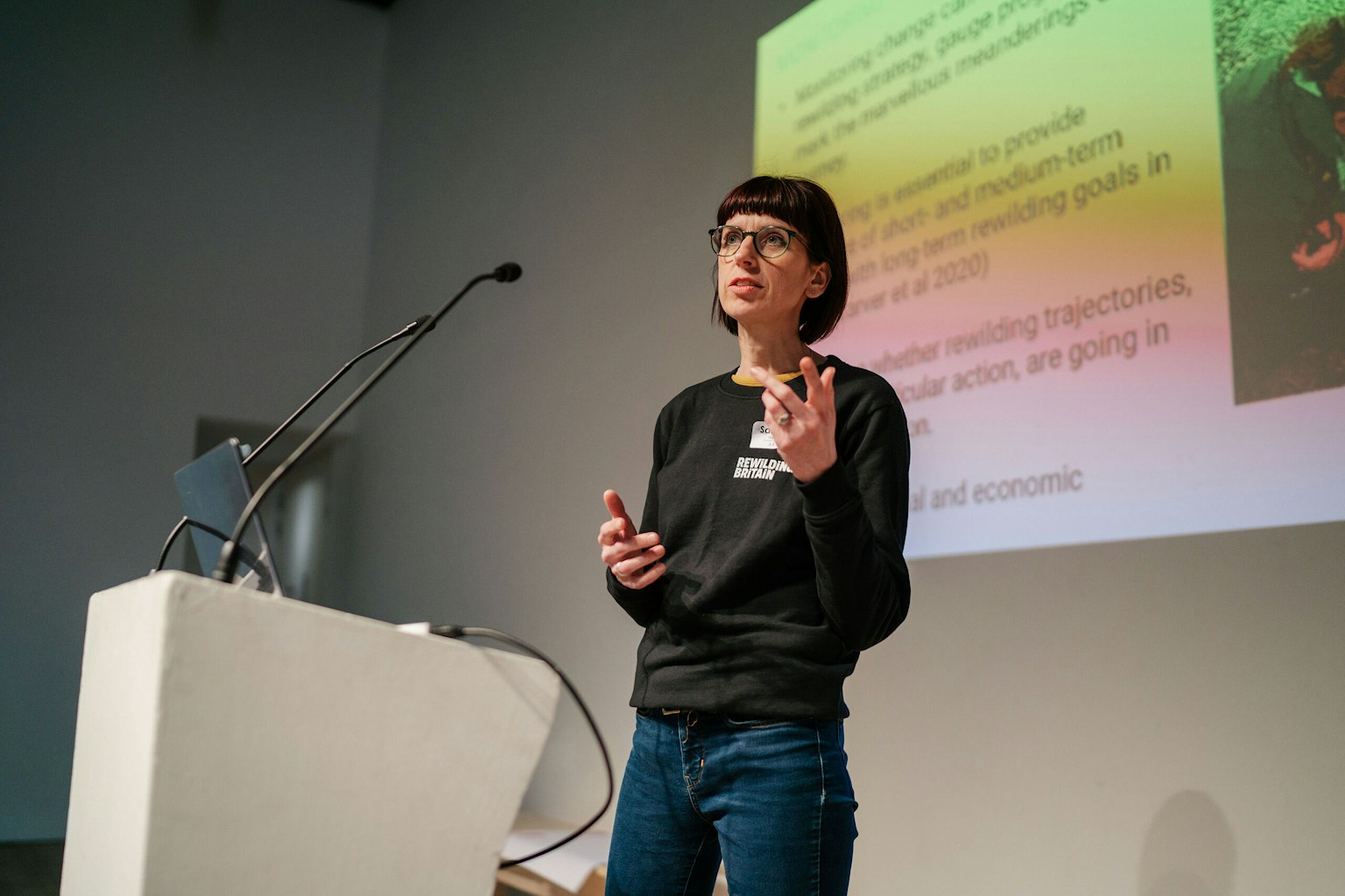
ItтАЩs in response to these needs that ║┌┴╧╒¤─▄┴┐ is developing a Rewilding Monitoring Framework specifically for rewilding in Britain. Firmly grounded in science, the framework is designed to enable practitioners to accurately track changes at land-based rewilding projects using a standardised approach, with consistent metrics across all dimensions of rewilding (ecological, social and economic). WeтАЩre lucky enough to be working closely with a group of pioneering rewilders from across the Rewilding Network, as well as engaged academics, who have been helping guide the development of the framework. Five Network members are currently piloting the framework at their sites across Britain so that this scientifically credible approach results in a highly usable tool in practice.
WeтАЩll be sharing part one of the framework, which covers ecological metrics, with members of the Rewilding Network in autumn 2024. The final framework тАУ complete with social and economic metrics тАУ will be completed in 2025. WeтАЩll also be evolving the framework for marine-based rewilding projects.
Our hope is that by adopting a standardised approach, the framework can contribute enormously towards making the significant ecological, social and economic transformations attributable to rewilding much better evidenced and understood. With the ability today to monitor the things that are too small or big for us to see with the human eye тАУ from underground worm activity to changes in vegetation structure over time тАУ collecting robust data is essential in helping us see the bigger picture.
Get in touch
If youтАЩre a rewilding practitioner starting your monitoring journey, do get in touch with us to see how we can help.
- Perry, Richard (1948). тАШIn the High GrampiansтАЩ Lindsay Drummond, London. UK
- Lyons, G. (2020). .
- Savory, C. J. (2016). ╠¤Scottish Birds 135-149
- Tree, I. (2018).╠¤Wilding: the return of nature to a British farm. Picador, London
- Brazier, R. E., Puttock, A., Graham, H. A., Auster, R. E., Davies, K. H. and Brown, C. M. L. (2020). WIREs Water╠¤8(1) e1494
- Puttock, A., Graham, H. A., Cunliffe, A. M., Elliott, M. and Brazier, R. E. (2017). ╠¤Science of the Total Environment 576: 430 - 443
- Schulte to B├╝hne, H., Ross, B., Sandon, C. J. and Pettorelli, N. (2022). Journal of Environmental Management 312: 114867
- Williams, J., Sandom, C. J. and Pettorelli, N. (2024).╠¤ Ecological Solutions and Evidence 5(1)e12315
- Robinson, J. M., Breed, M. F. and Abrahams, C. (2023). .╠¤Restoration Ecology 31 (5) e13934╠¤╠¤
- Sethi, S. S., Jones, N. S., Fulcher, B. D., Picinali, L., Clink, D. J., Klinck, H., Orme, C. D. L., Wrege, P. H. and Ewers, R. M. (2020). . Proceedings of the National Academy of Science 117(29) 17049-17055
- A., Henshaw, A., Harvey, E., Green, P., De Klee, I. (2021).╠¤. ArcGIS StoryMaps.
- ║┌┴╧╒¤─▄┴┐. (2023). Rewilding boosts jobs and volunteering opportunities, study shows.
